Remember “Payton’s Hill” in Arlington Heights, Illinois?
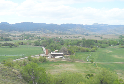
This is the view from “Bingham Hill Park” looking westward
I was biking up Bingham Hill a few weeks ago in preparation for the preparation of that big bike ride across Iowa, whatever it’s called… Rag– something or other. In this picture there is a farm house and above it in the background are the foothills of the Roosevelt National Forest.
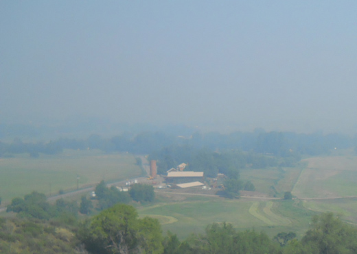
The same view today
The smoke from the High Park Fire has taken away the foothills for the moment. Uncertain winds will change this scene more than a dozen times in a day and there are hopes that the fire does not spread eastward. Since last reported on June 9th, the size of this fire has increased an order of magnitude. The type I fire crews have control of 10% of the fire as of today. Note: Type I fire crews function as the “initial attack” on a forest fire while the type II crews carry out suppression efforts and mop-up activity.
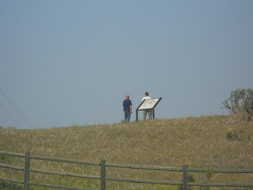
Bingham Hill area residents on the hill
I watched as several people over an hour’s time walk up to the top and look over the valley in the direction of the fire. The home-owners are a bit edgy as they know that conditions could change rapidly and the fire could spread into the valley. Less than a mile west of the hill is the road leading to Lory State Park; the road is blocked by Colorado National Guard vehicles and so is Rist Canyon Road near the town of Bellvue.
We will be glad to hear on the news when the Type II fire crews are in place. Soon I hope…


